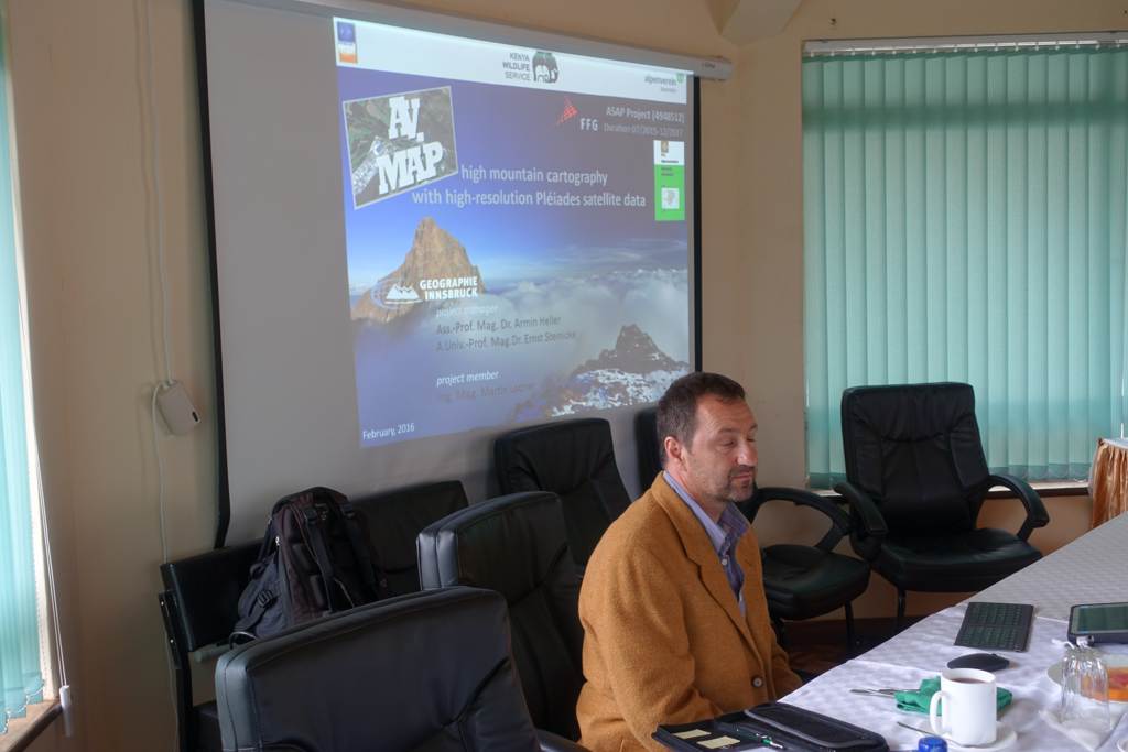
AV.MAP
high mountain cartography with high-resolution Pléiades satellite data
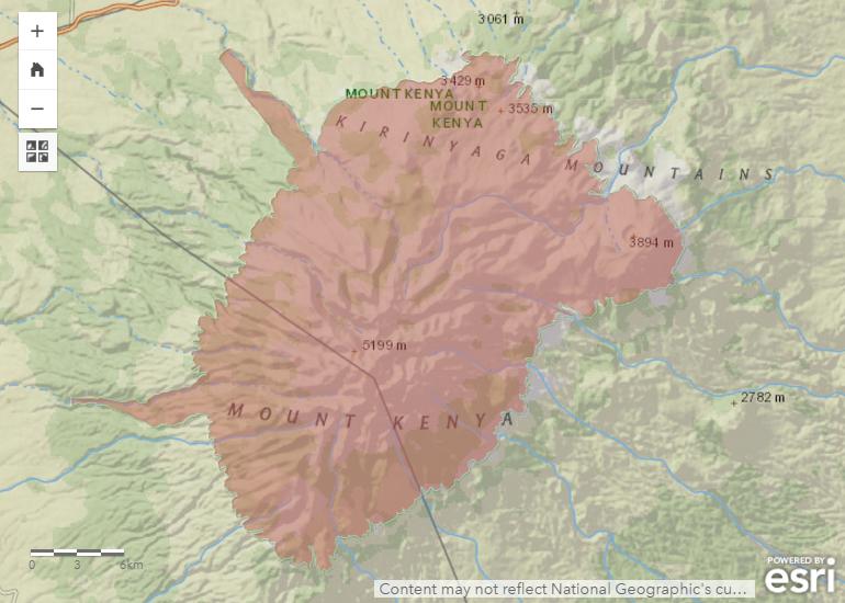
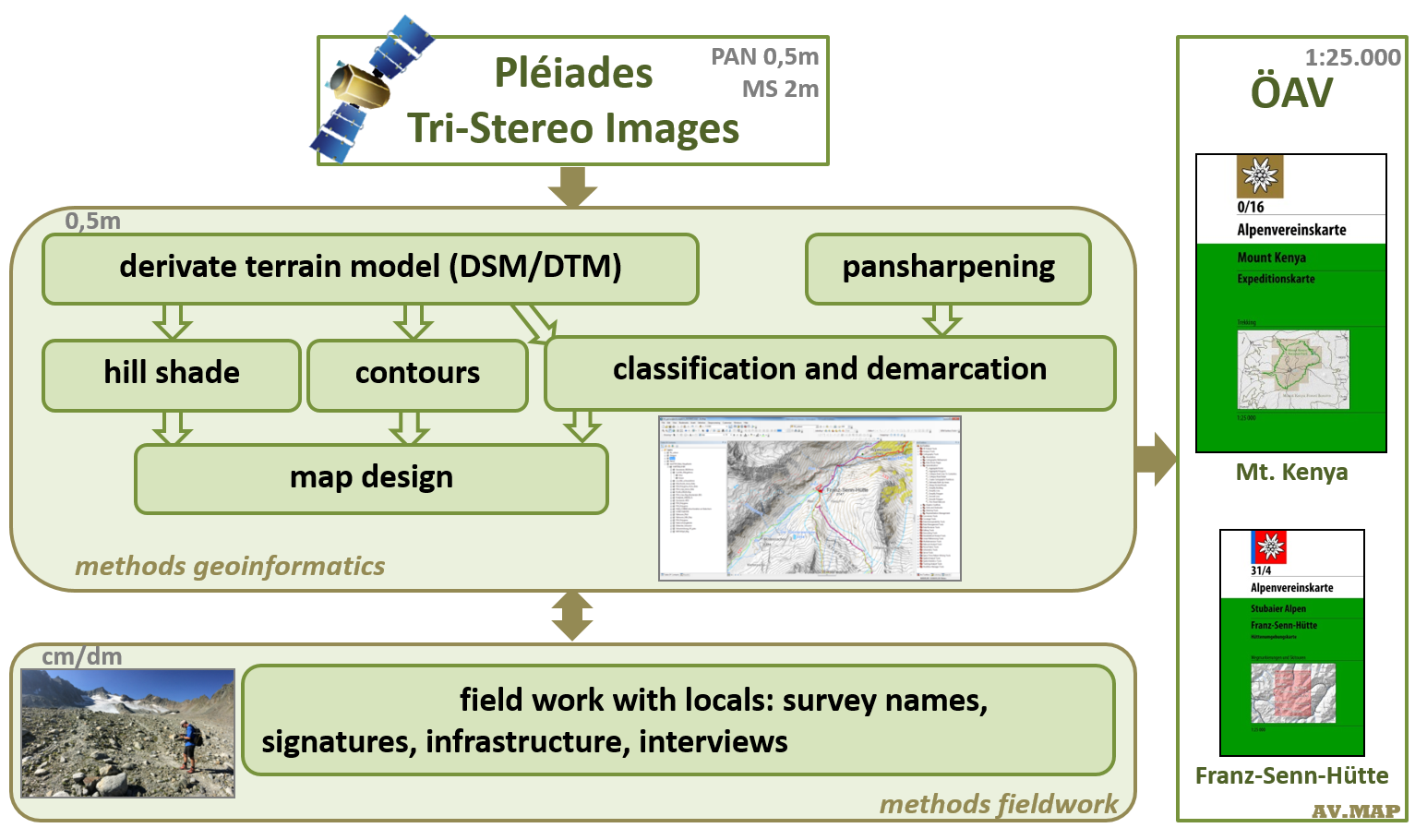
illustration map design AV.MAP, Ladner 2015
It will be investigated how this method can be integrated into the cartography of the Alpenverein framework, especially in regards to the continuation of existing high-mountain maps. A comparison of the data in the Alps should show to what extent high-resolution remote-sensing data can replace basic data (orthophotographs, laser scanning data) currently common in high mountain cartography.Despite the increasing availability of digital media, topographical maps have hardly lost in importance. Compared to digital media, in terms of orientation in the field and also scientific mapping, the full view, fracture safety and handling of conventional maps are preferable in situations without electricity or batteries. Traditional methods of mapping for the production of topographic maps have been replaced entirely by computer-assisted methods. Non-derivable information must, however, still be collected in the field.
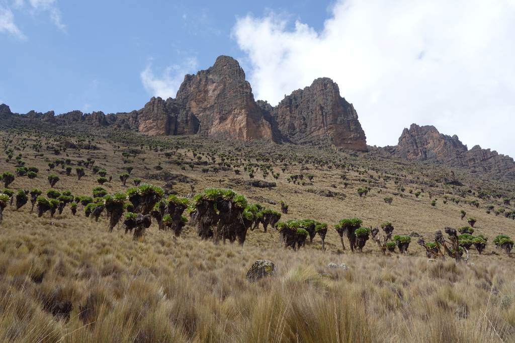
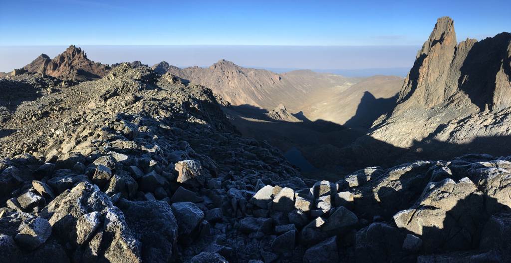
The project promotes explicitly local mountaineering tourism on Mt. Kenya organized by the community-based organizations, in which these not only participate in the planning and execution, but will also benefit from the product. This will be investigated and validated in the context of the project. Moreover, one significant focus refers to the dimension of endogenous development, i.e. generating monetary income for the local peasants – represented through the case study of Mt. Kenya. From the project, in addition to numerous methodological insights, two topographic maps will emerge. These will be printed and distributed by the ÖAV. The results of this project, based on high resolution remote sensing date, can be the beginning of a completely new period at the Austrian Alpine Club cartography - especially for high mountain cartography all over the world - not only in creating new maps also for updating existing maps.
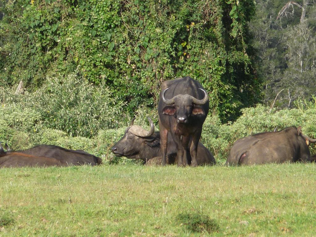
The data generated from the project will also support the National Park Service (KWS) in the management of the protected area.
Tri-Stereo Images (Foreward, Nadir, Backward) consist of a pancromatic and a multispectral band.
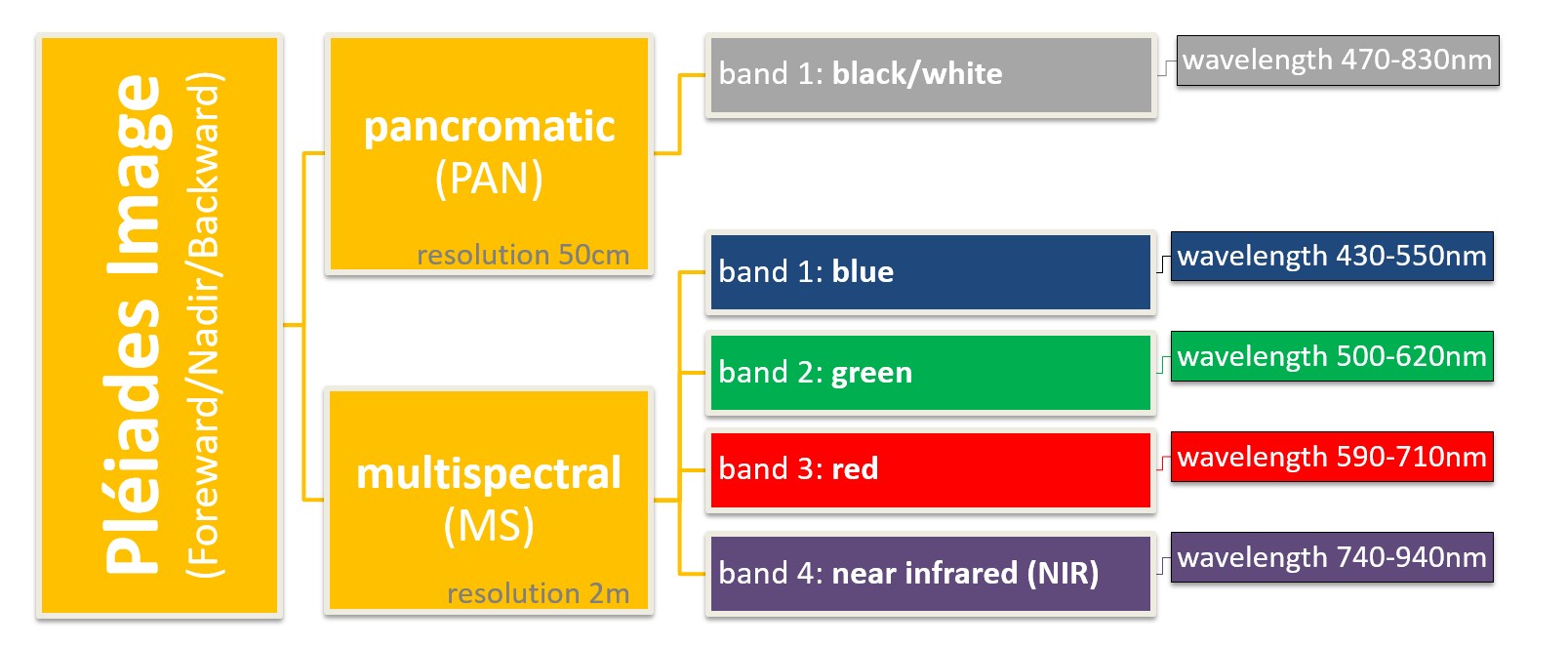
Pleiades channels and bands, Ladner 2015
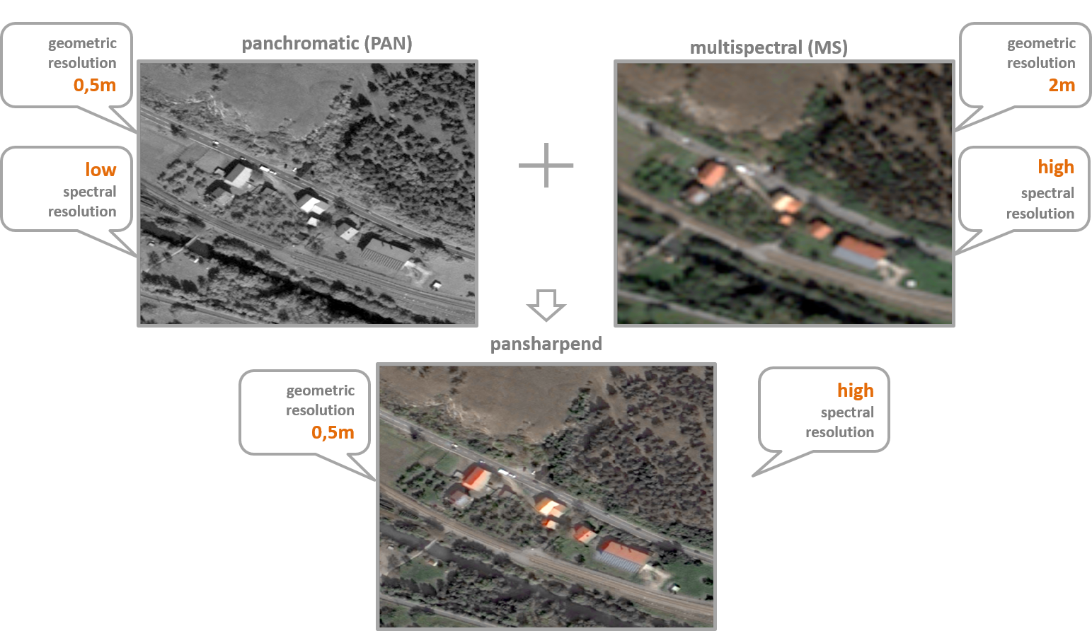
To combine the high spectral resolution of the multispectral Image with the high geometric resolution of the panchromatic Image the pansharp-method of ArcGIS is used. These Images are used for digitalising and classification.
Pléiades Images Pansharpening, Ladner 2015
Based on the Tri-Stereo Pléiades Images burdensome procedures are used to compute terrain models for hillshades and contours.
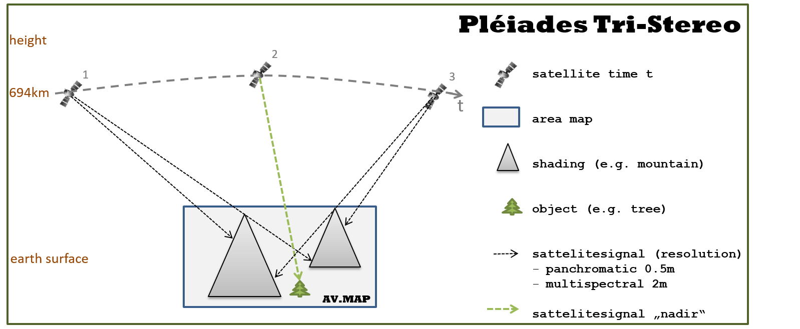
Illustration Tri-Stereo-Pléiades Images, Ladner 2015
The result of these methods can be presented as a 3D terrain model with the pansharpend image
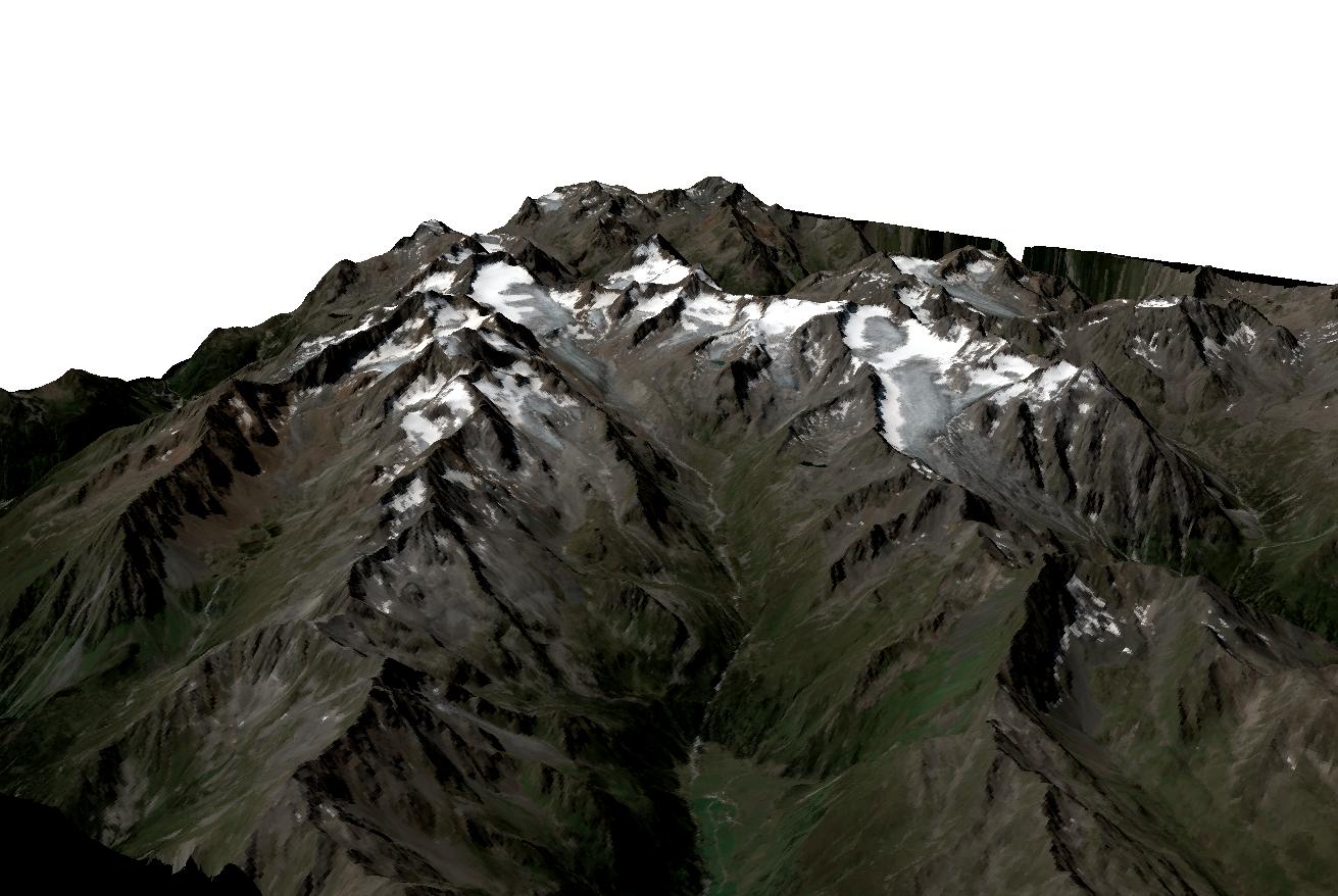
3D-terrain model of the FSH (Pléiades), visualization with ArcScene, Ladner 2016
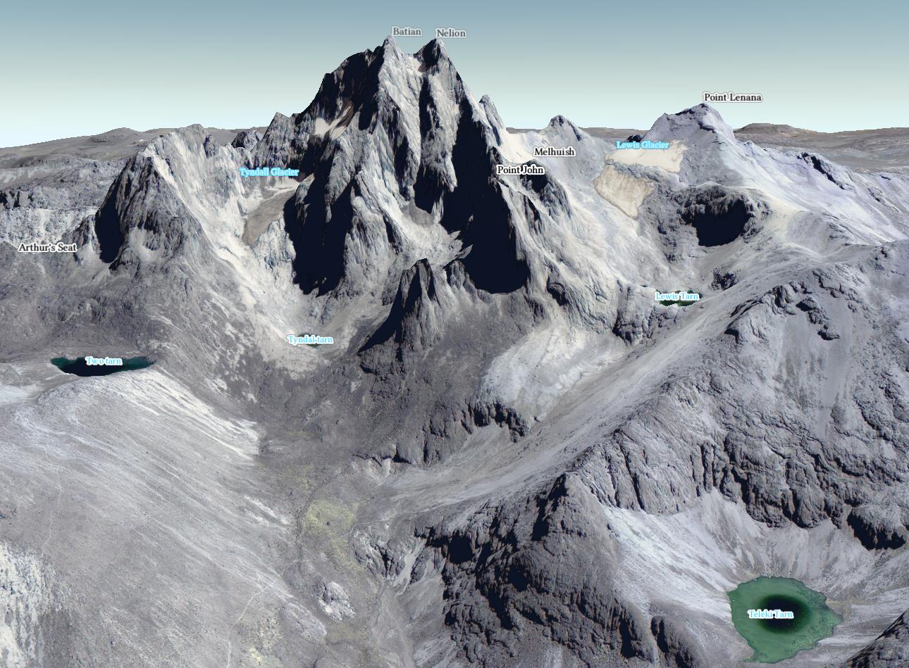
representation of the 3D terrain model of Mt. Kenya visualized with ArcGIS Pro, Heller & Ladner 2018
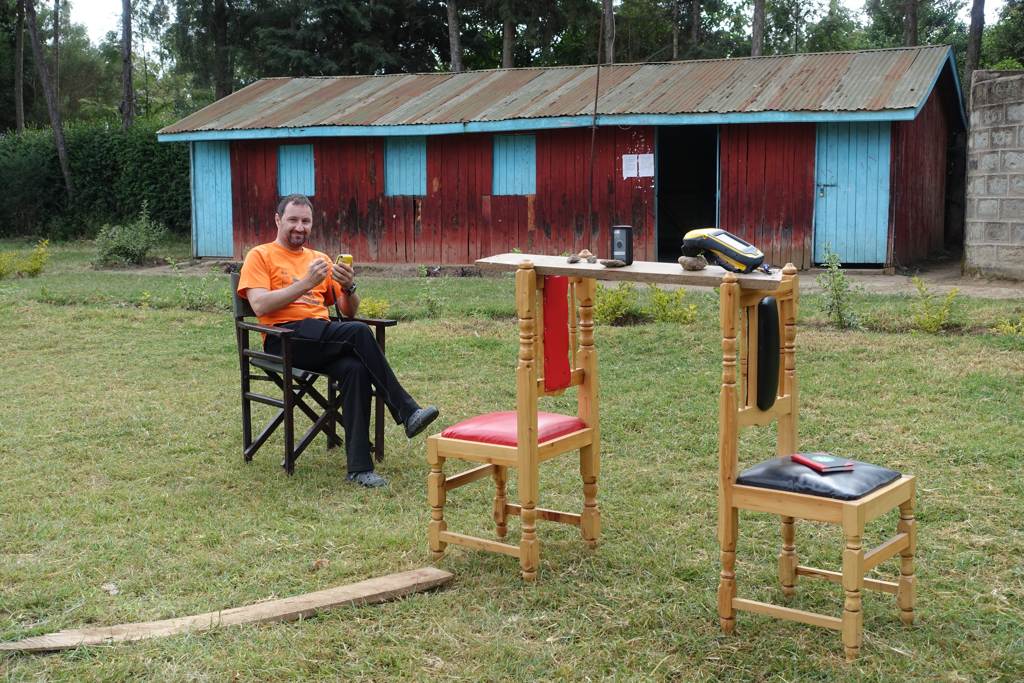
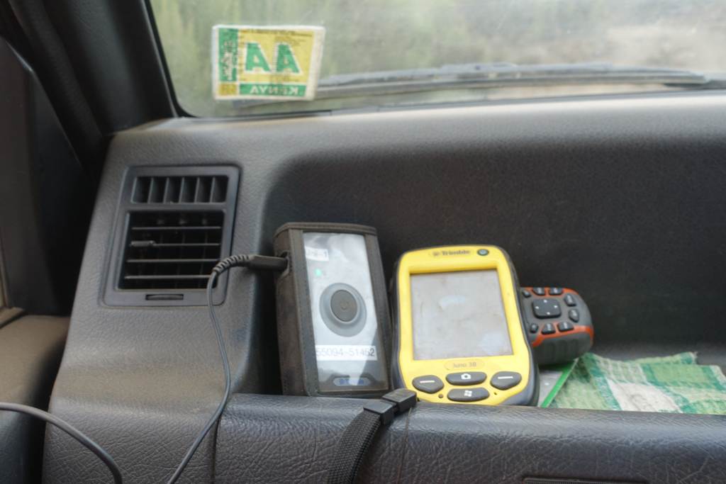
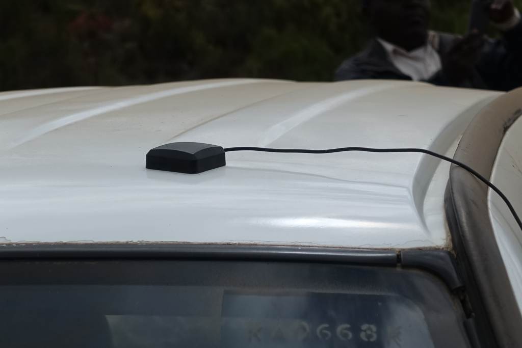
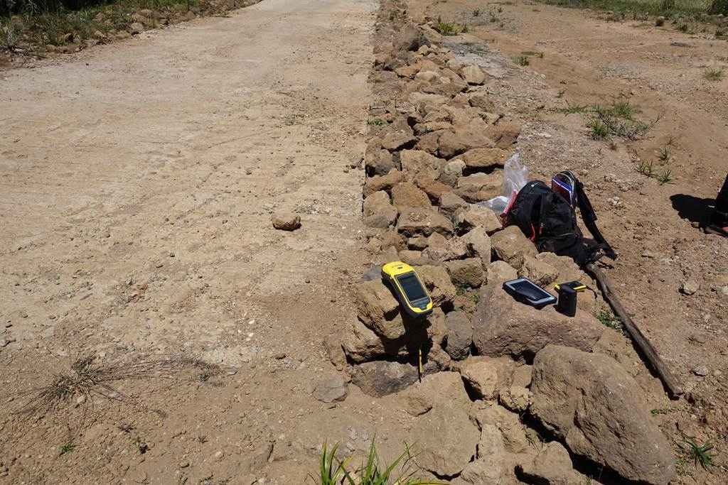
There are differential GNSS measurements with different purposes:
In order to achieve the desired accuracies, the GPS devices and measuring methods were extensively tested and analyzed.
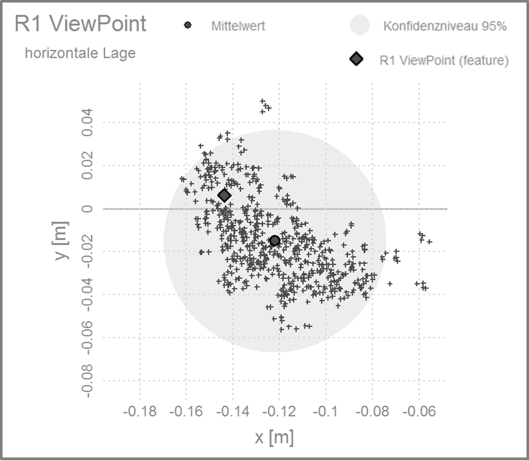
Accuracy analysis Trimble R1 (RTX), Ladner 2017
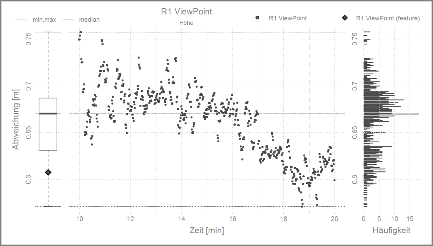
Accuracy analysis Trimble R1 (RTX) over time, Ladner 2017


2019
Universität Innsbruck (2019): new high resolution map of Mt. Kenya University Innsbruck, Innsbruck.
2018
Ladner M., Beer, W., Heller, A. (2018): 0/16 Mount Kenia Nationalpark. Österreichischer Alpenverein, Innsbruck.
Ladner, M., Beer, W., Heller, A. (2018): Kartographische Grundlagendaten aus Pléiades Aufnahmen mit ArcGIS Pro. In: Agit – Journal für Angewandte Geoinformatik, 4 – 2018, Salzburg 2018.
Prinz, R., Heller, A., Ladner, M., Nicholson, L., Kaser, G. (2018): Mapping the Loss of Mt. Kenya’s Glaciers: An Example of the Challenges of Satellite Monitoring of Very Small Glaciers. Geosciences 2018, 8, 174.
2017
Heller, A., Ladner, M., Erhard, A., Steinicke, E. (2017): Das neue Bild des Mt. Kenya. Das Projekt 'AV.MAP' und seine Dimension in der Entwicklungszusammenarbeit. In: Innsbrucker Geographische Gesellschaft: Innsbrucker Jahresbericht 2016-2017. Innsbruck: Innsbrucker Geographische Gesellschaft, ISBN 978-3-901182-76-1, S. 63 - 80.
Ennemoser S. (2017): 31/4 Alpenvereinskarte Stubaier Alpen Mitte. Österreichischer Alpenverein, Innsbruck.
Beer, W., Heller, A., Ladner, M. (2017): 150 Jahre Kartografie … und kein bisschen müde. In: Bergauf – Das Magazin des Österreichischen Alpenvereins. Heft 01.2017 Innsbruck 2017, S. 32 – 35.
Ladner, M., Heller, A., Grillmayer, G. (2017): GNSS und Pléiades-Bilder in der Hochgebirgskartographie. In: Agit – Journal für Angewandte Geoinformatik, 3 – 2017, Salzburg 2017, S. 13 – 23.
Himmelreich, L. C., Ladner, M., Heller, A. (2017): Pléiades Tri-Stereo Bilder im Hochgebirge – eine Parameterstudie mit PCI Geomatics. In: Agit – Journal für Angewandte Geoinformatik, 3 – 2017, Salzburg 2017, S. 153 – 162.
Master theses
Schorer, M. (2017): Landbedeckung in der Alpenvereinskartographie. Möglichkeiten einer GIS-basierten Ableitung aus Sentinel-2 Daten.
Himmelreich, L. (2017): DHM Ableitungen aus Pléiades Tri-Stereo Satellitenbildern im Hochgebirge. Digitale Höhenmodelle verschiedener Softwareprodukte im Vergleich zu ALS Daten.
Ennemoser, S.(2016): GIS-Kartographie am Beispiel der Franz – Senn – Hüttenumgebungskarte.
Bachelor theses
Nödel J. (2017): Sichtbarkeitsanalysen zur Auswahl der geeigneten Satellitendaten für die moderne (Hochgebirgs-) Kartographie am Beispiel des Umgebungsbereichs der Franz-Senn-Hütte in den Stubaier Alpen.
| 2023 | |||||||||||||||||||||
| 23.6.2023 | Österreichischer Alpenverein: Podcast #017 Feature: Expeditionskarte Mount Kenya | ||||||||||||||||||||
| 2020 | |||||||||||||||||||||
| 31.8.2020 |
NEWS: Österreichischer Alpenverein: Neue Methoden in der Kartographie (new methods in cartography)
Special Achievement Award (SAG) Winner 2020 (ESRI) |
||||||||||||||||||||
| 2019 | |||||||||||||||||||||
| 11.1. | new high resolution map of Mt. Kenya | ||||||||||||||||||||
| 2018 | |||||||||||||||||||||
| 17.12. | On the occasion of the EU-Africa Forum, President Alexander Van der Bellen and the President of the Republic of Kenya Uhuru Kenyatta met for a discussion on 'Taking cooperation to the digital age'. A copy of the Alpine Club Map Mount Kenya map was handed over. | ||||||||||||||||||||
| 8.11. | NEW MAP: Mount Kenya | ||||||||||||||||||||
| Oktober | 0/16 Alpenvereinskarte with accompanying Booklet Mount-Kenya-Nationalpark, Österreichischer Alpenverein | ||||||||||||||||||||
| 4.-6.7. | AGIT, University Salzburg | ||||||||||||||||||||
| |||||||||||||||||||||
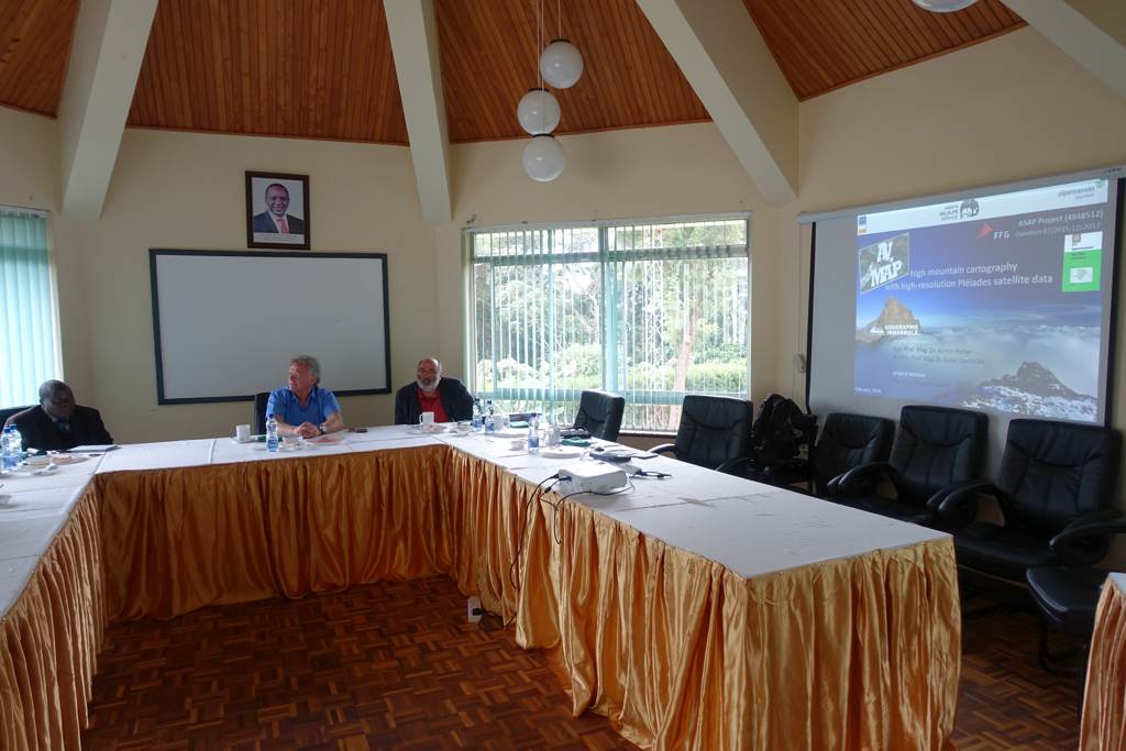
| 26.6. | statements presentation AV.MAP, ÖAV Innsbruck | ||||||||||||||||||||
| May | rock and scree (scale 1:25.000) calculated | ||||||||||||||||||||
| 11.5. | AV.MAP in Geosciences: Prinz, R., Heller, A., Ladner, M., Nicholson, L., Kaser, G.: Mapping the Loss of Mt. Kenya’s Glaciers: An Example of the Challenges of Satellite Monitoring of Very Small Glaciers. In: Geosciences 2018, 8, 174. | ||||||||||||||||||||
| April | German text of the booklet completed | ||||||||||||||||||||
| March | Numbering system developed for routes | ||||||||||||||||||||
| February | Improvement of the terrain model in the summit area | ||||||||||||||||||||
| January | Decision to create the map with ESRI ArcGIS Pro Research for the booklet completed | ||||||||||||||||||||
| 2017 | |||||||||||||||||||||
| December | Project extension until the end of June 2018 | ||||||||||||||||||||
| October | orthorectification of the pansharpend Pléiades (Kenya) recordings completed | ||||||||||||||||||||
| October | AV.MAP IGG annual report (German language): Heller, A., Ladner, M., Erhard, A., Steinicke, E.: Das neue Bild des Mt. Kenya. In: Innsbrucker Geographische Gesellschaft, Innsbrucker Jahresbericht 2016-2017, Innsbruck 2017, S. 63-80. | ||||||||||||||||||||
| July | AV.MAP map FSH: Ennemoser S.: 31/4 Alpenvereinskarte Stubaier Alpen Mitte. Österreichischer Alpenverein, Innsbruck. | ||||||||||||||||||||
| 5.-7.7. | AGIT, University Salzburg | ||||||||||||||||||||
| |||||||||||||||||||||
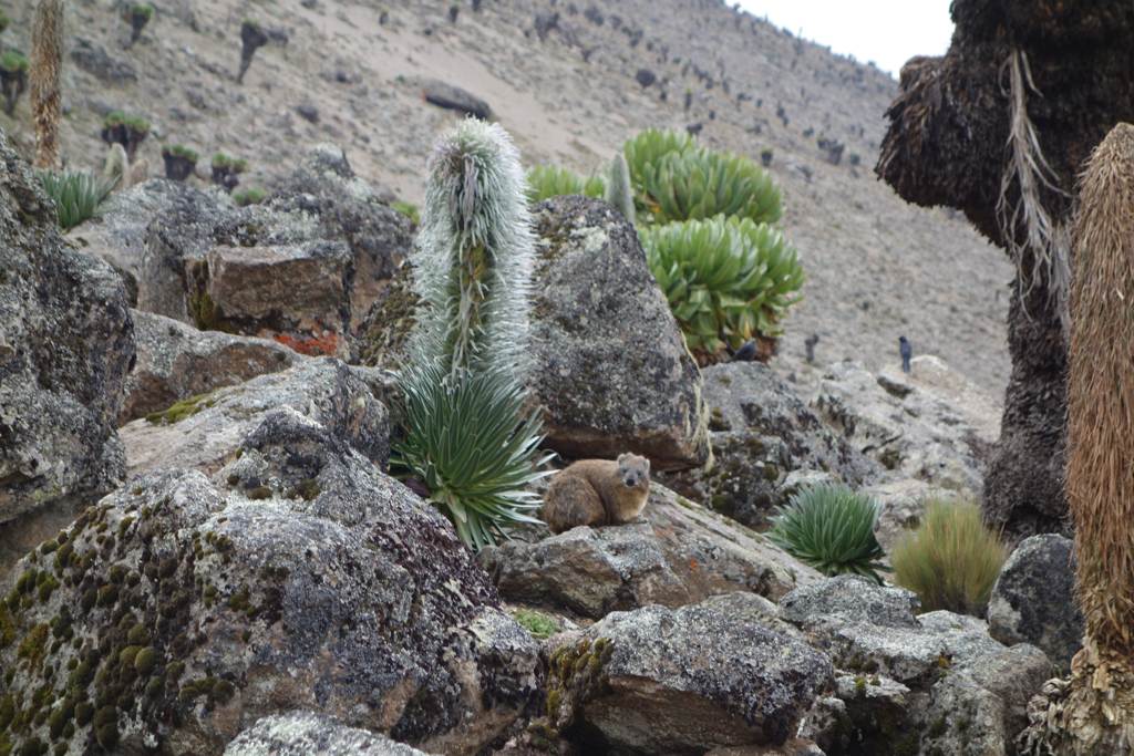
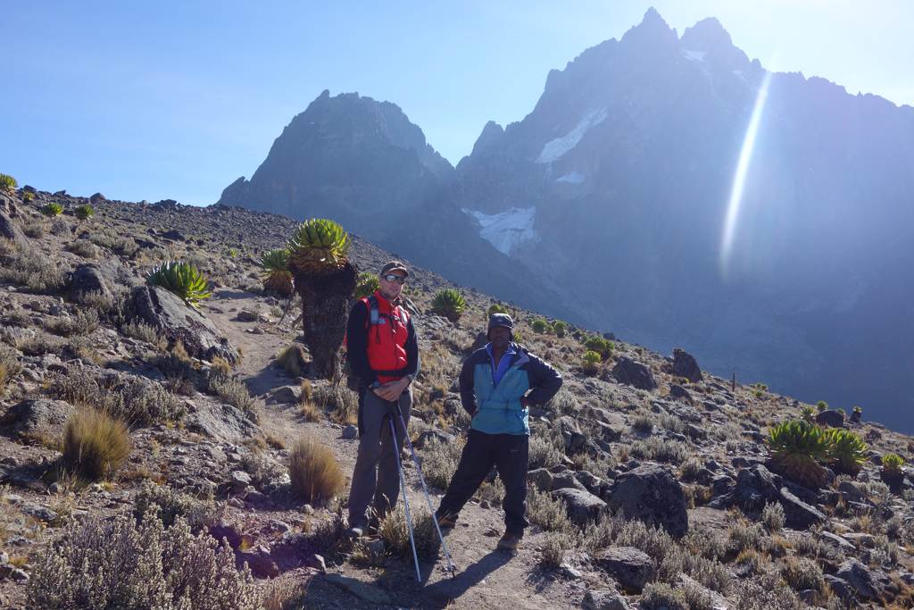
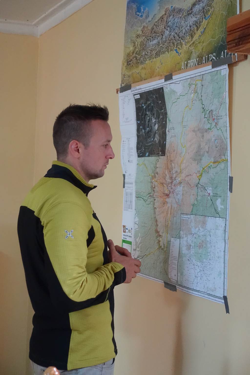
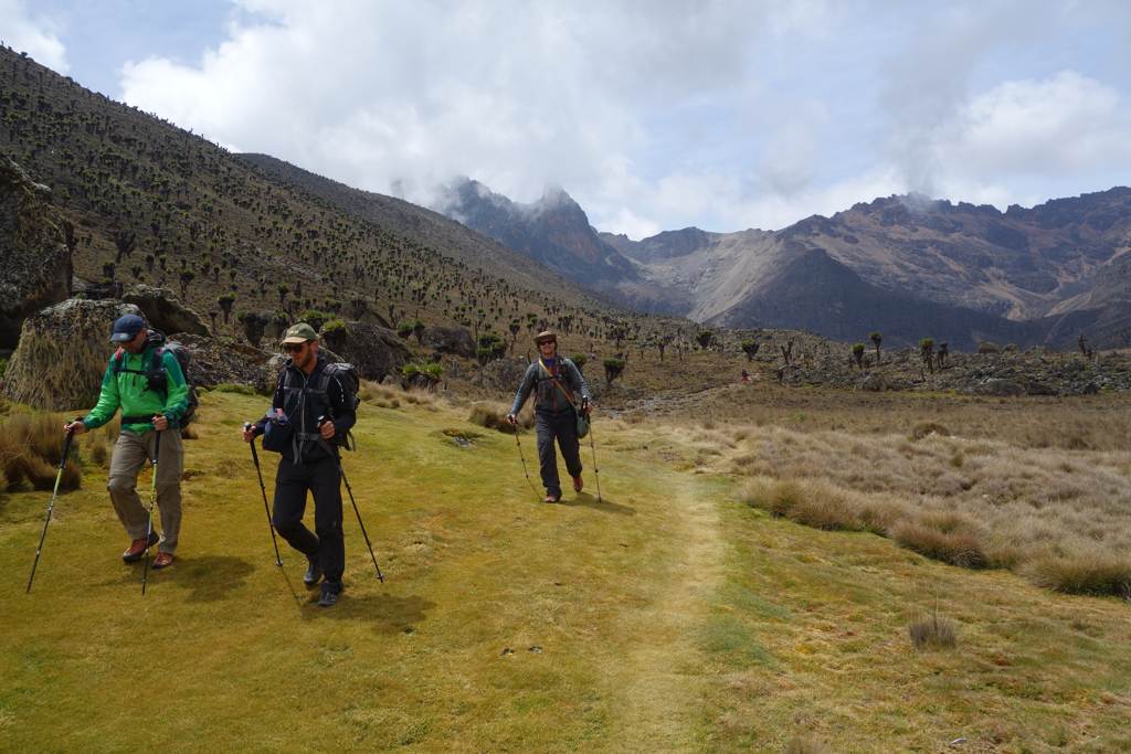
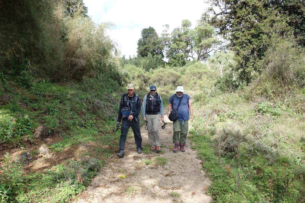
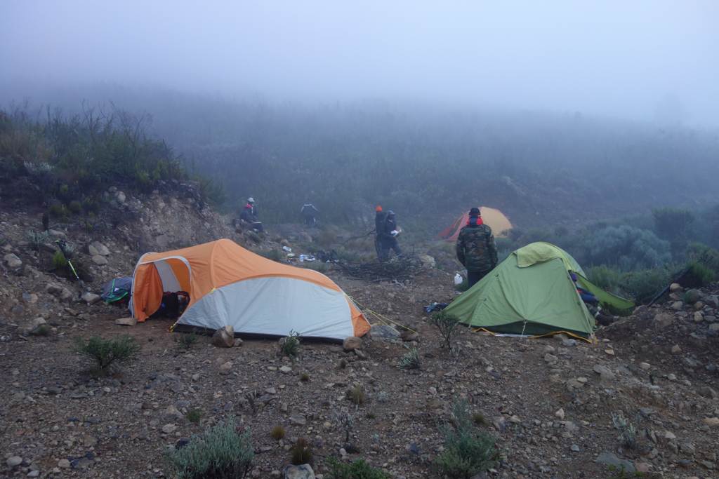
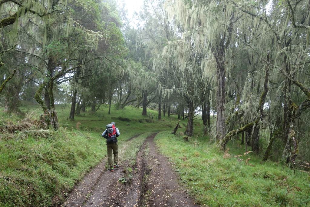
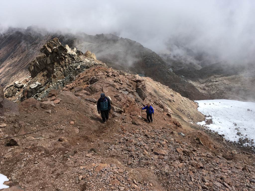
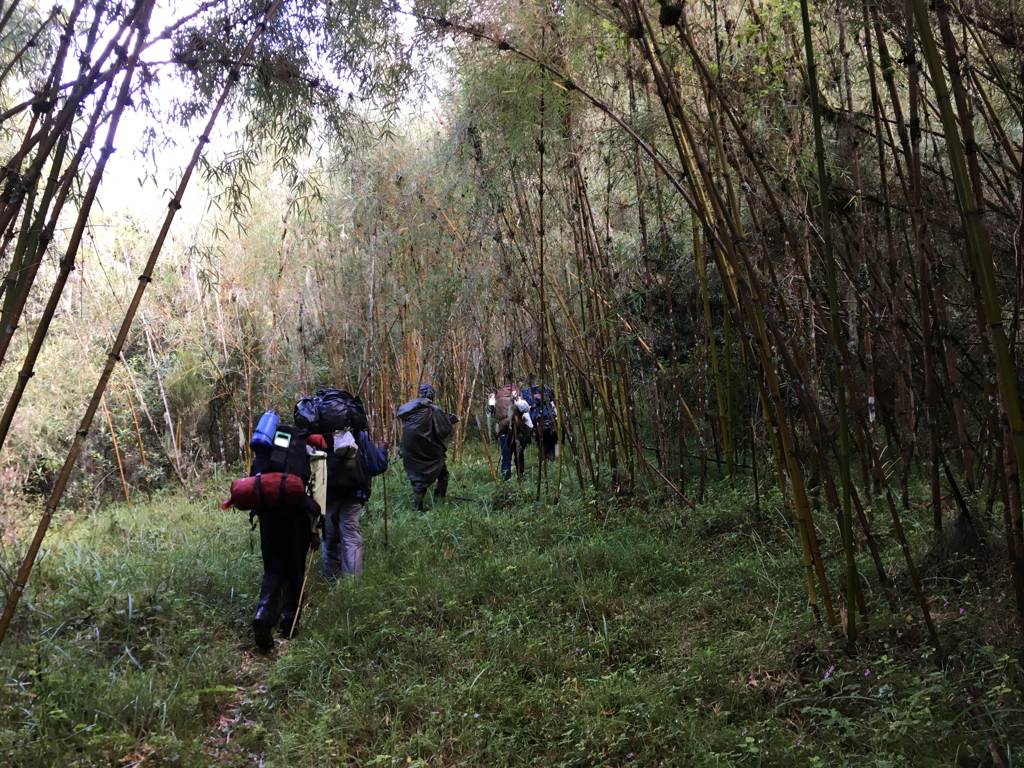
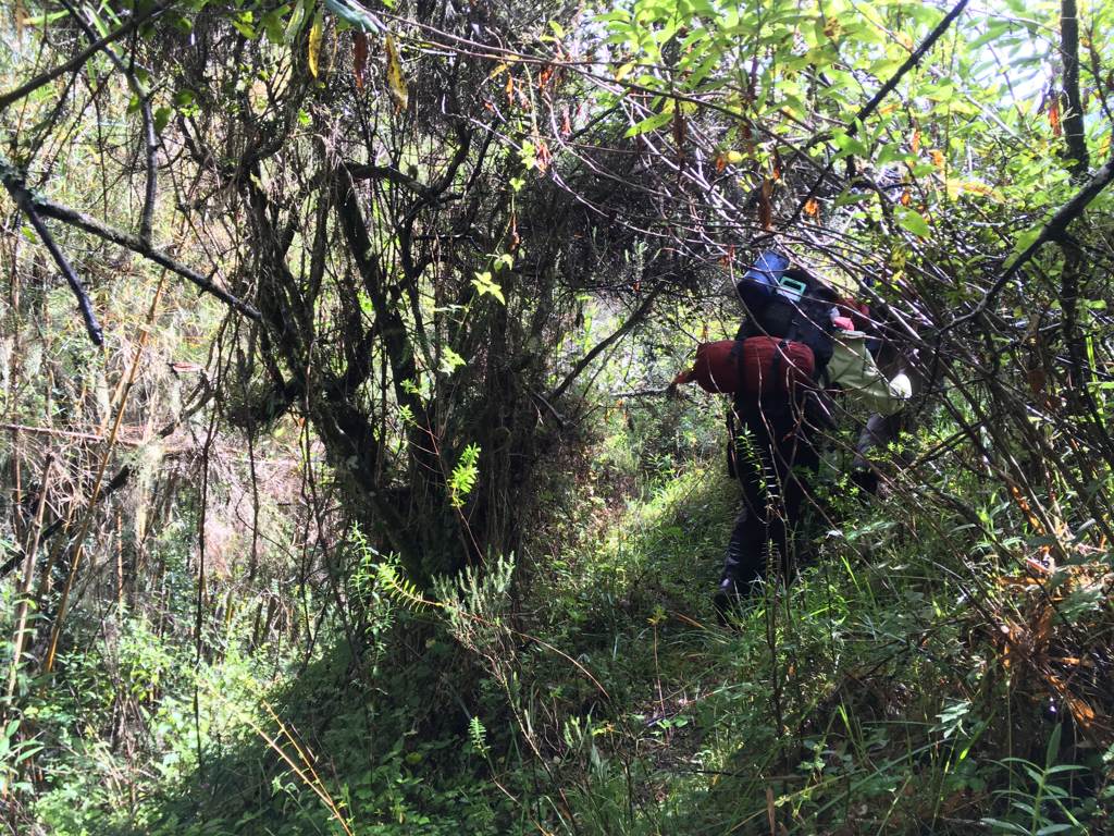
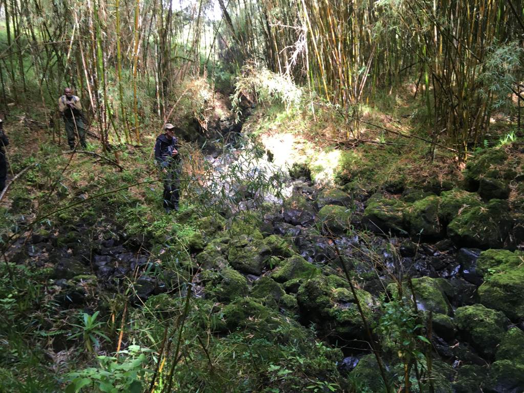
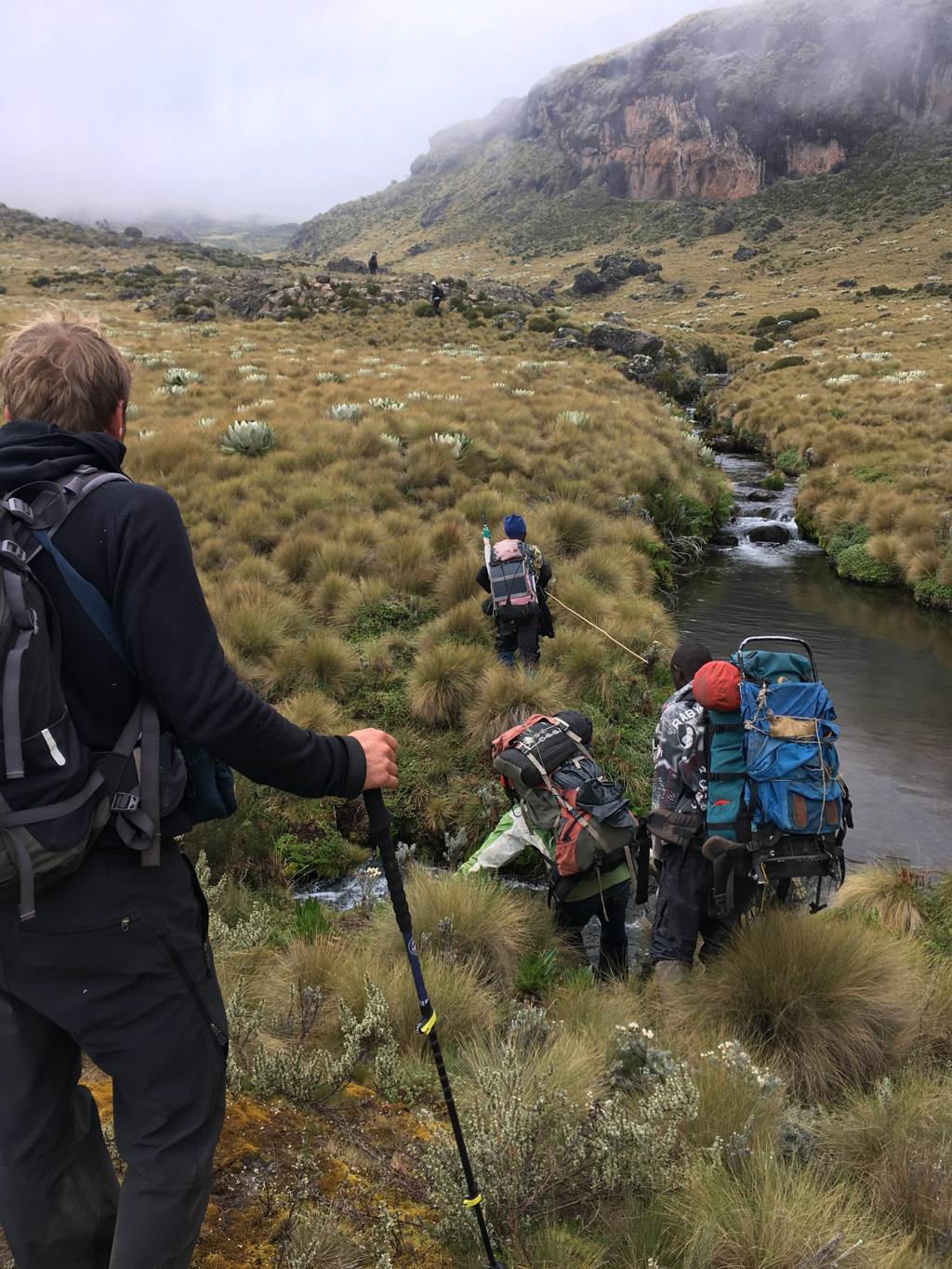
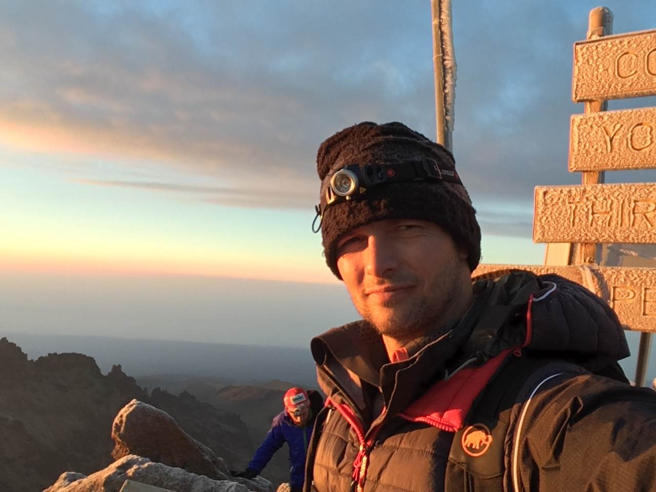
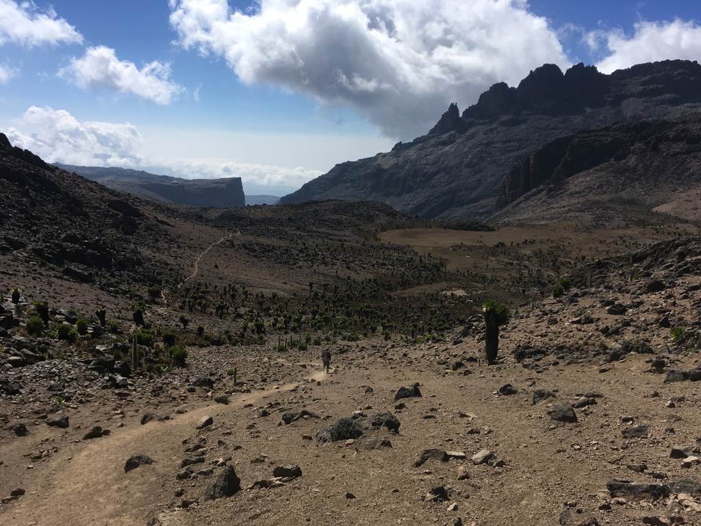
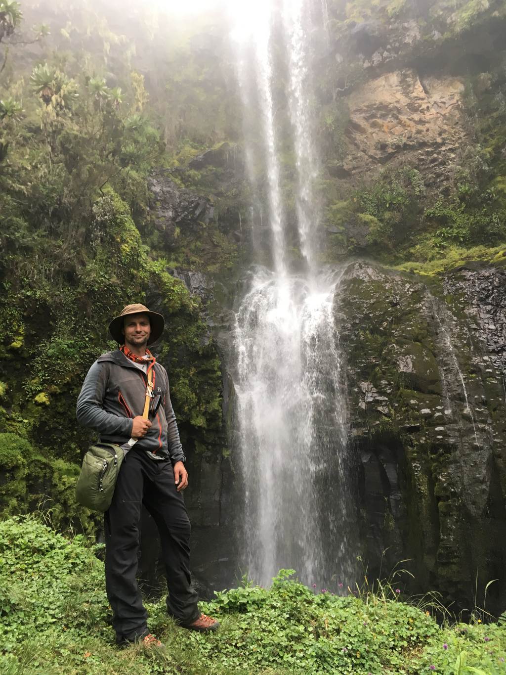
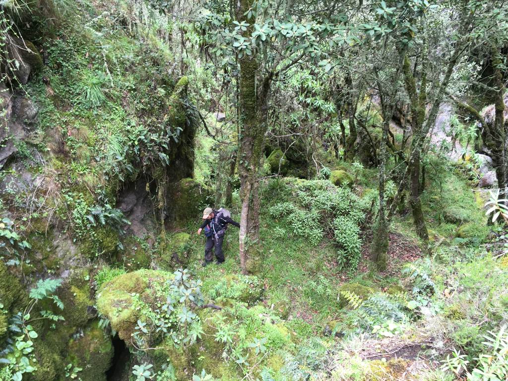
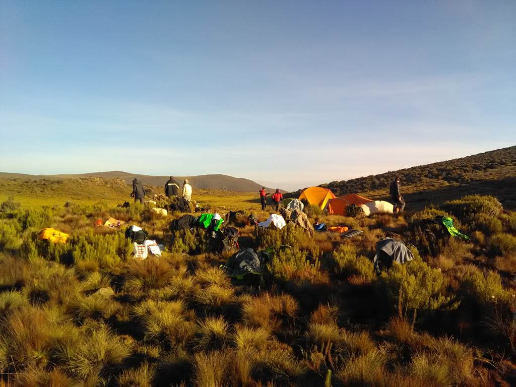
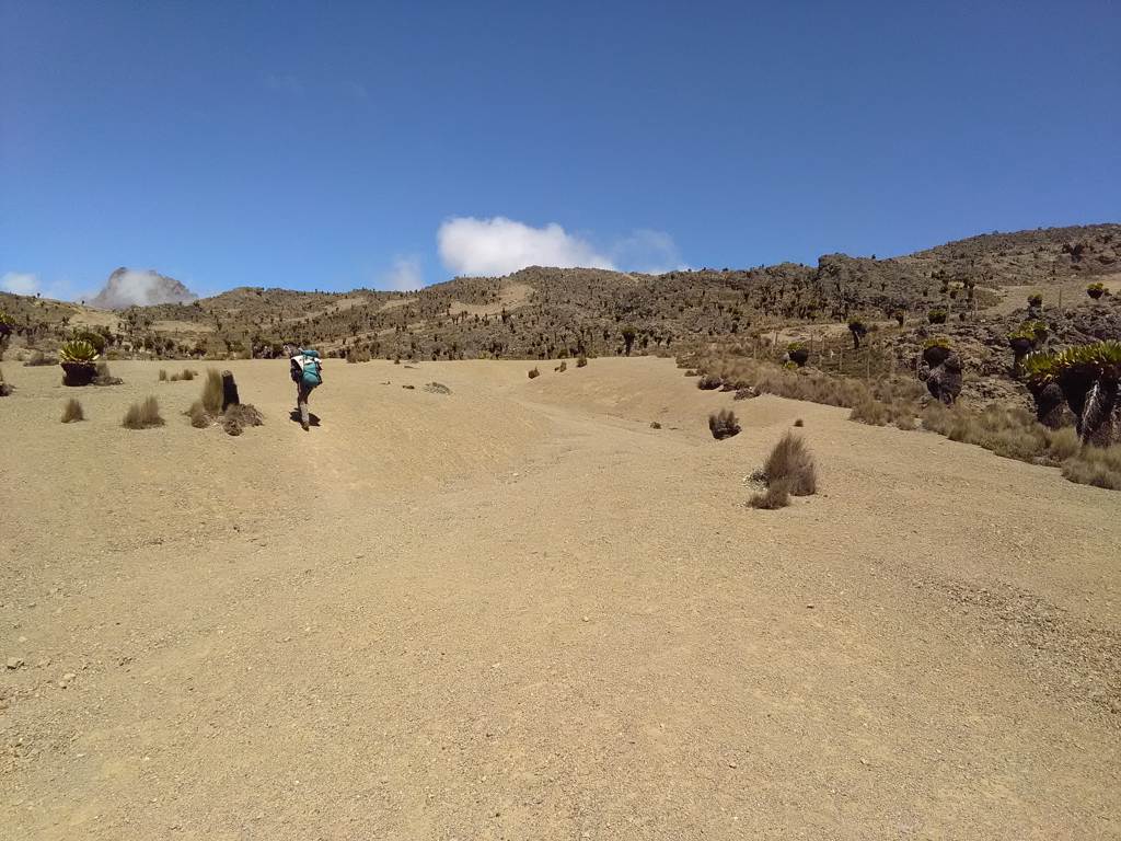
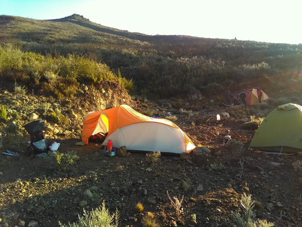
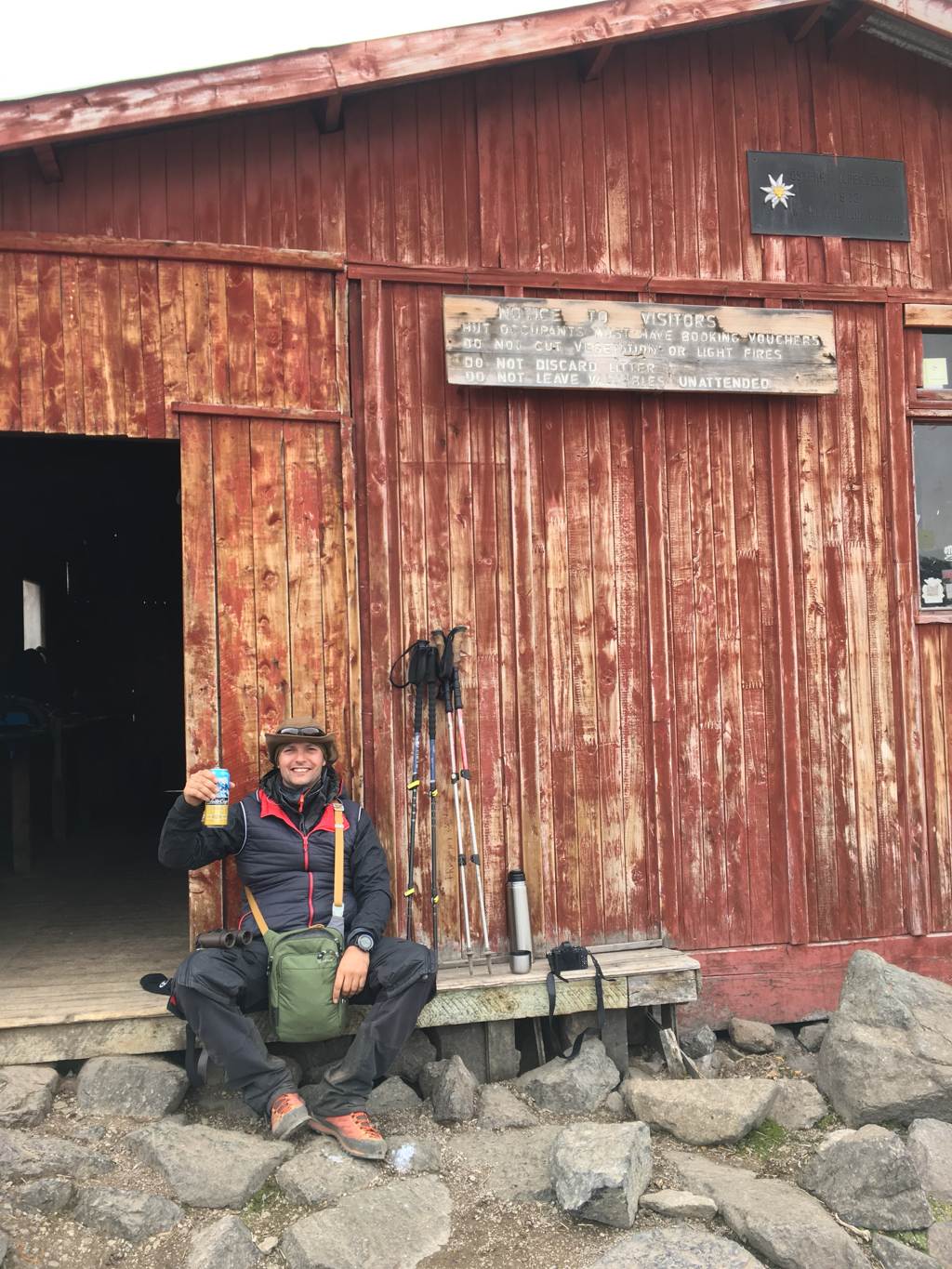
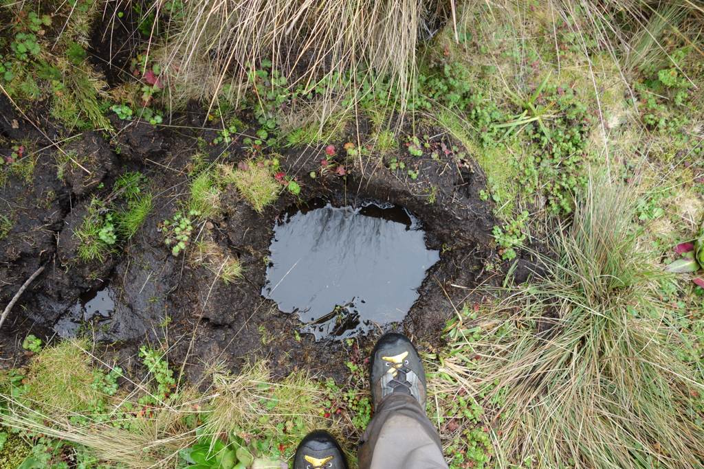
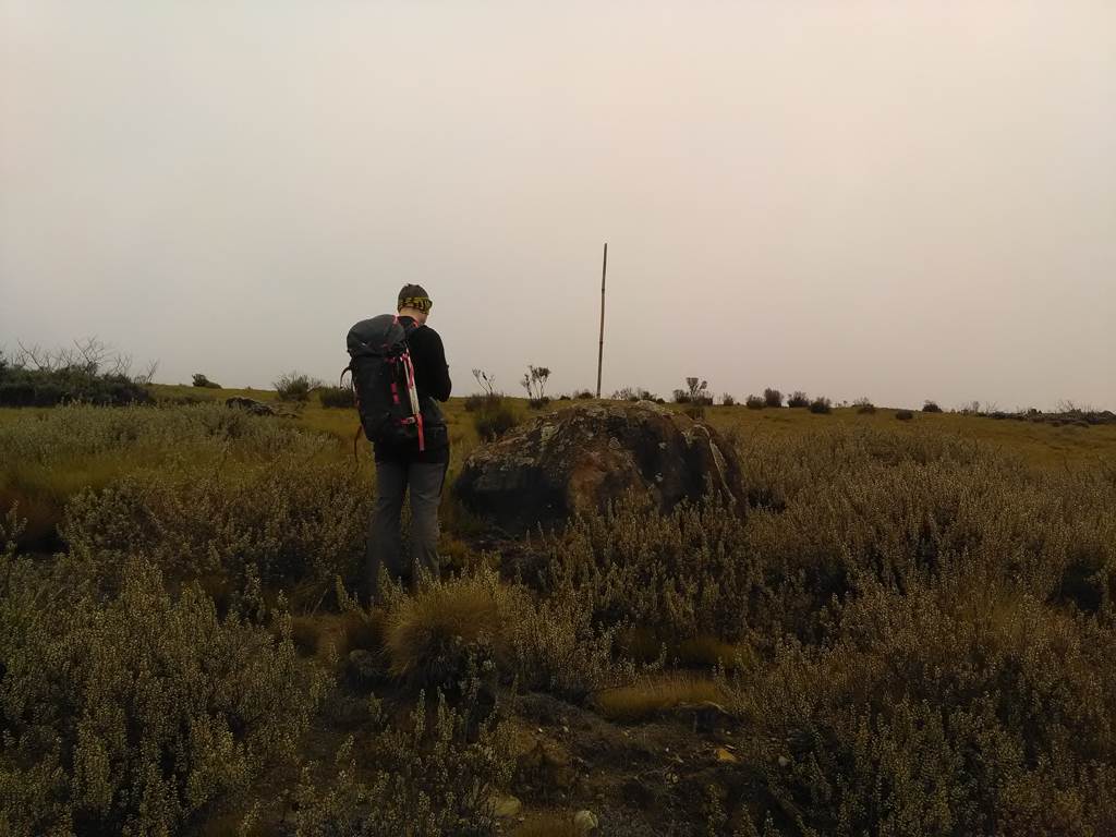
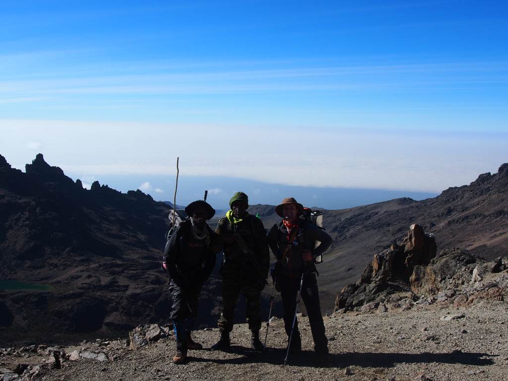
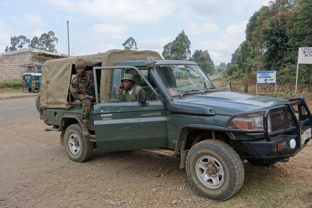
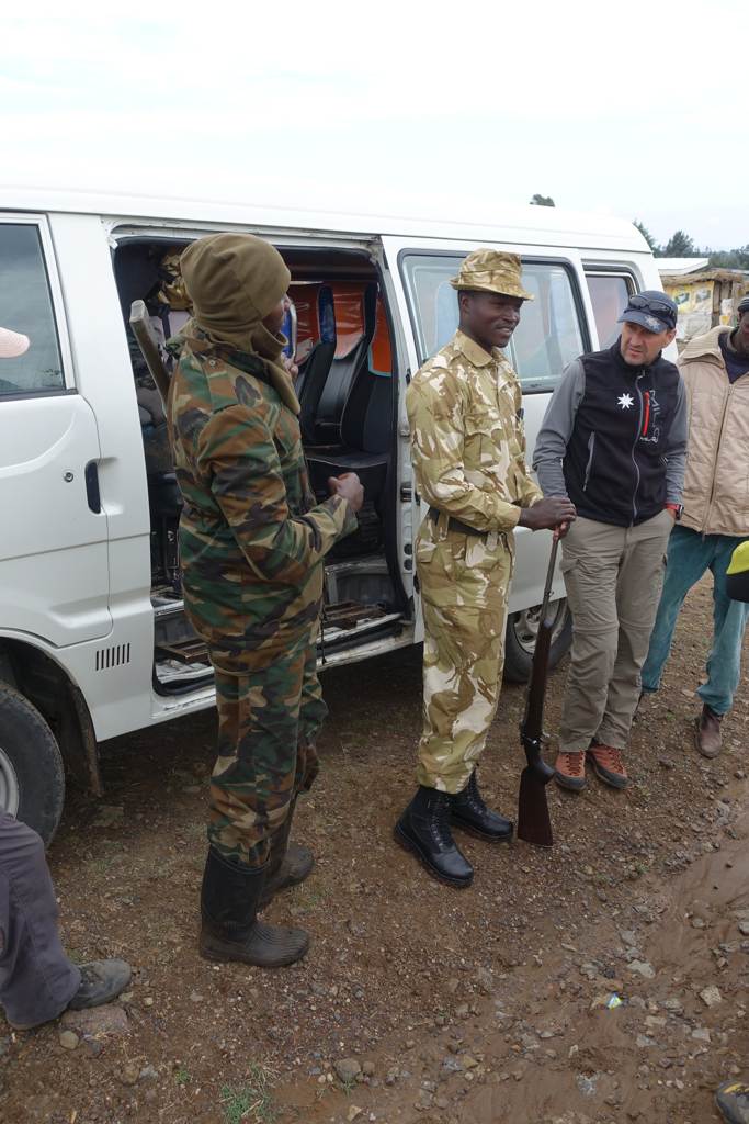
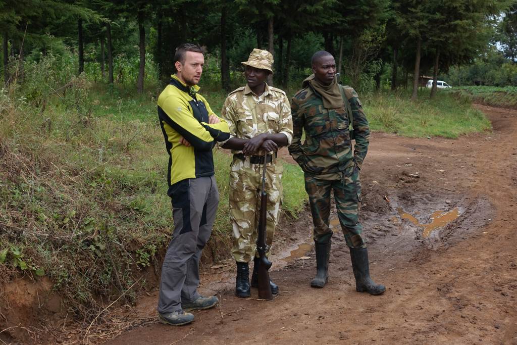
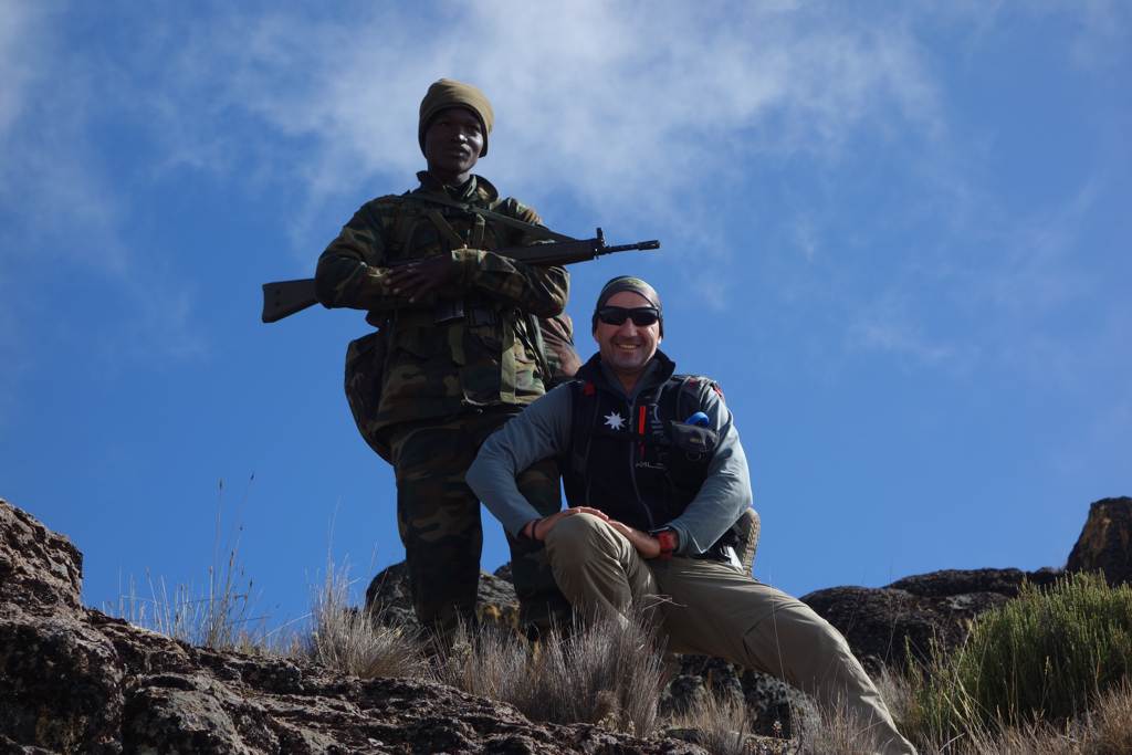
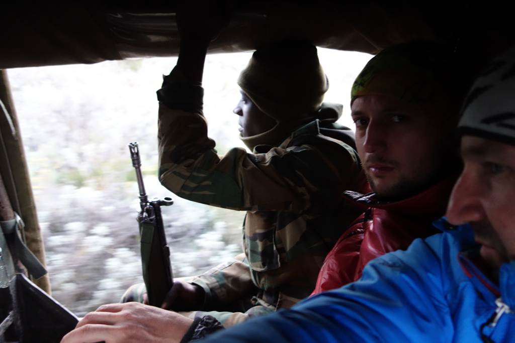
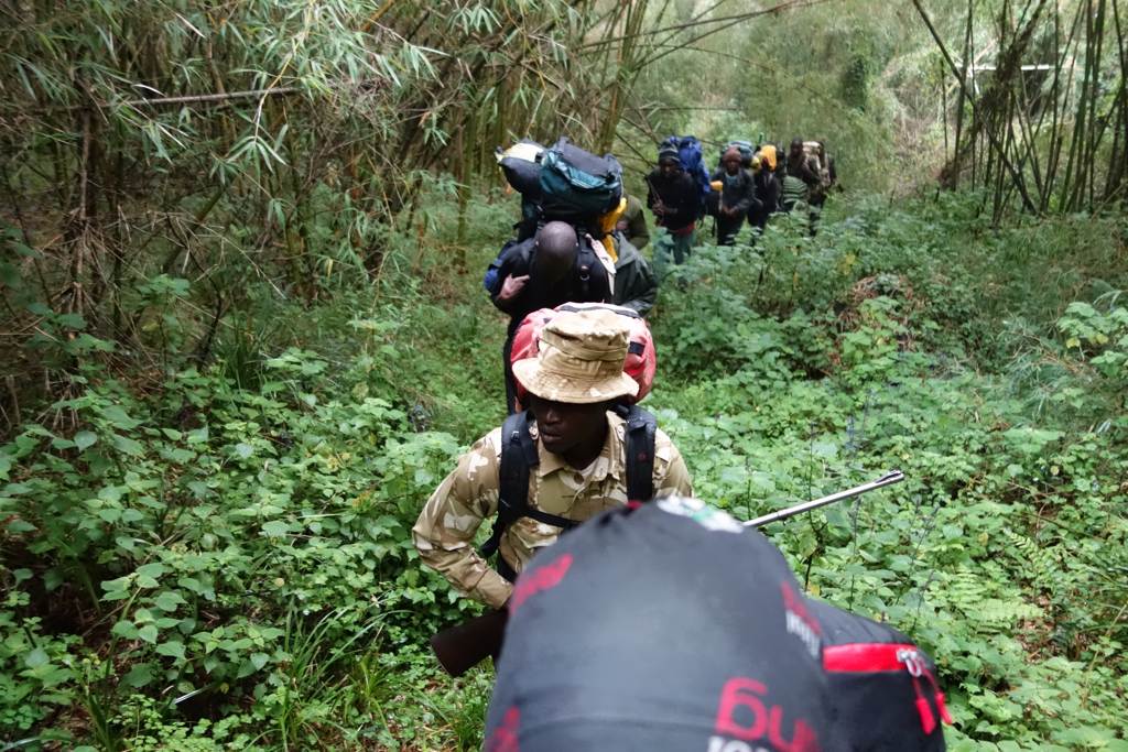
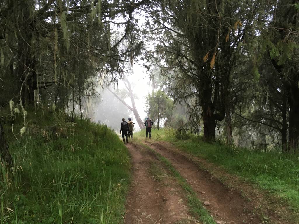
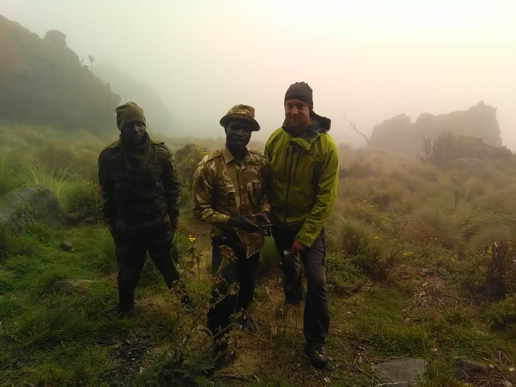
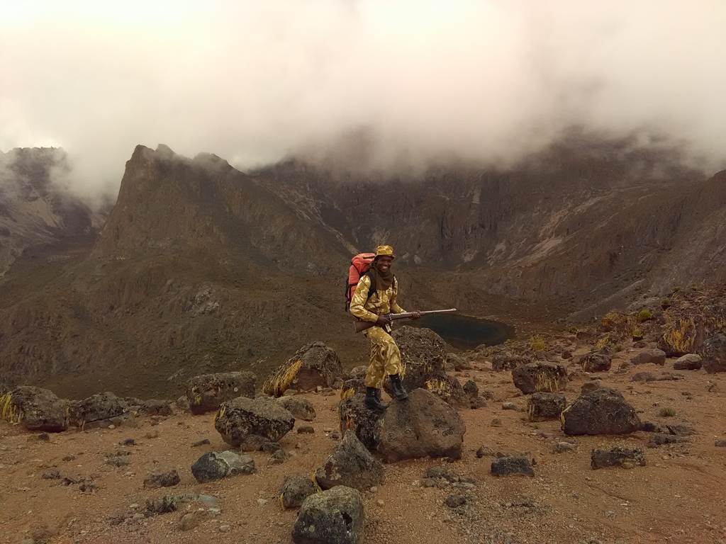
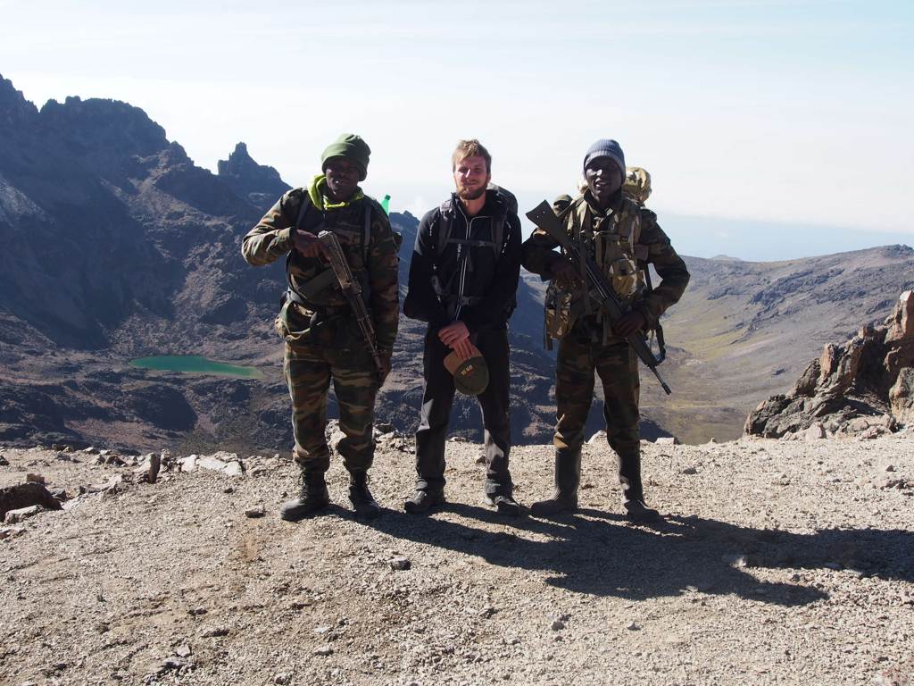
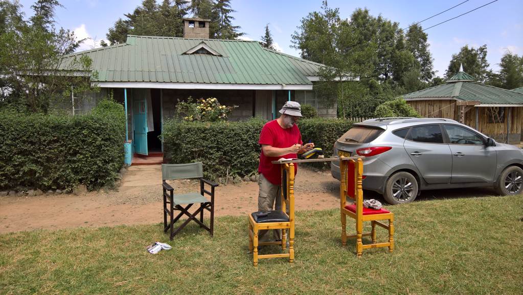
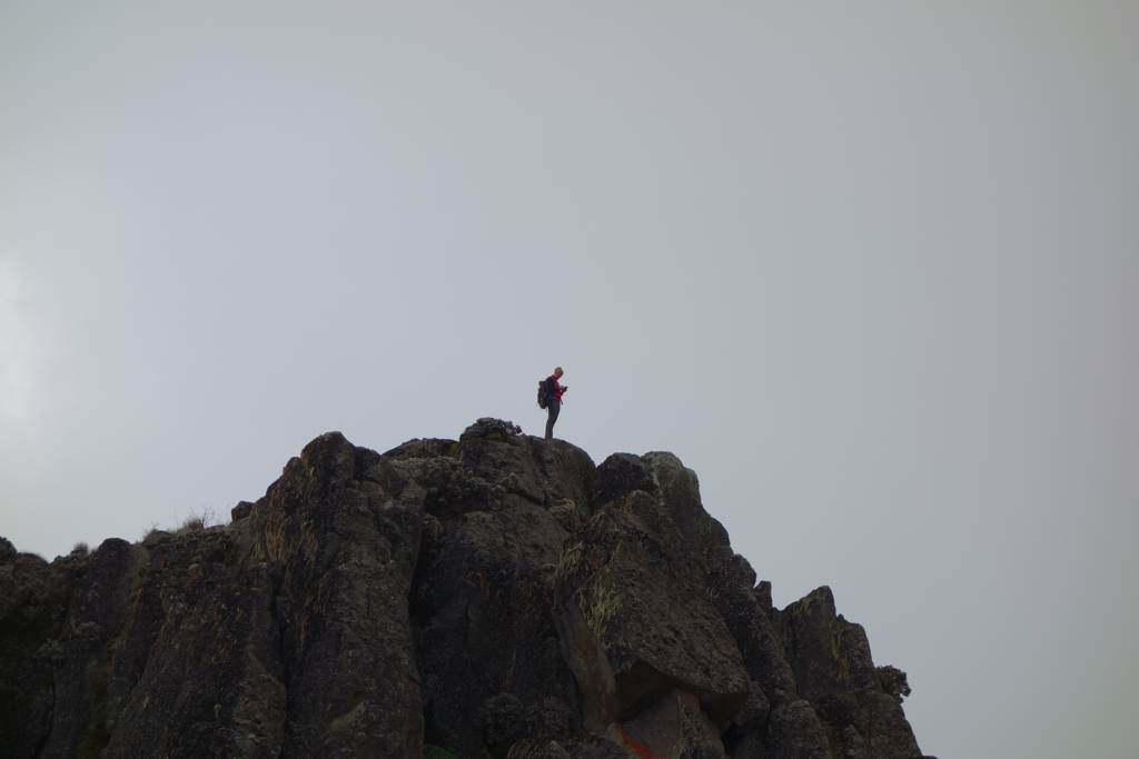
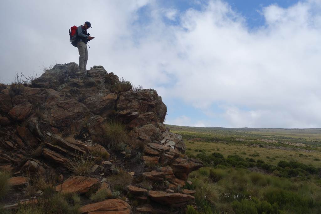
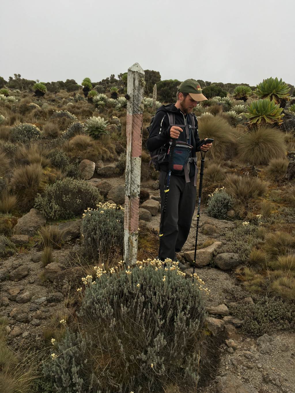
| 11.-24.2. | third field trip Mt. Kenya Nationalpark (update survey map content, GNSS-GCP) | ||||||||||||||||||||
| |||||||||||||||||||||
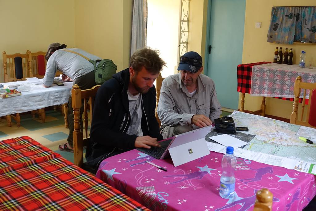
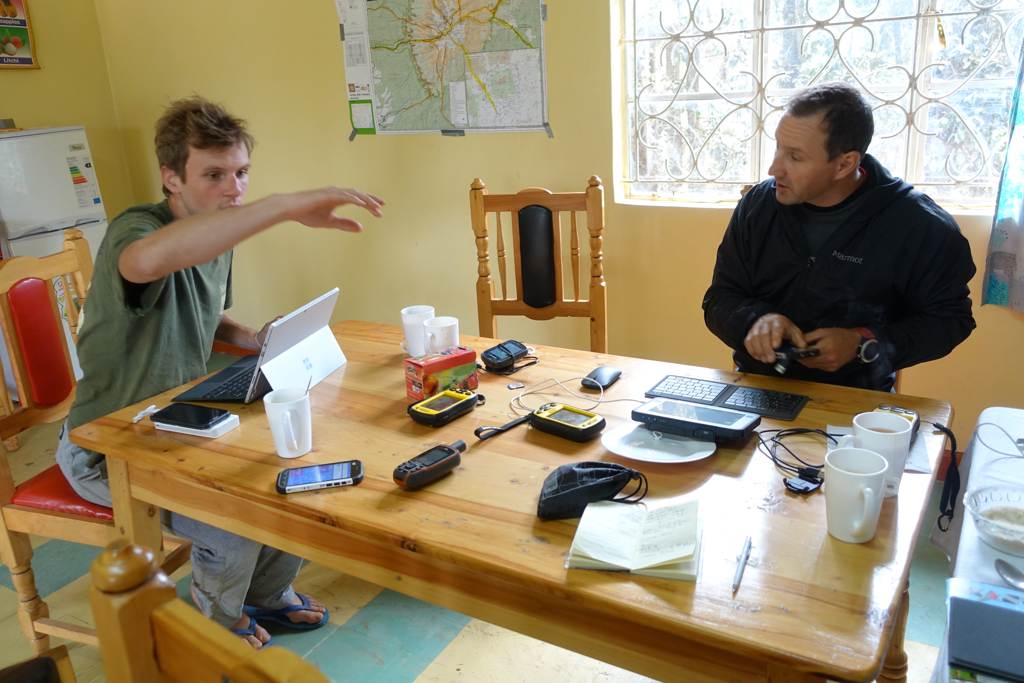
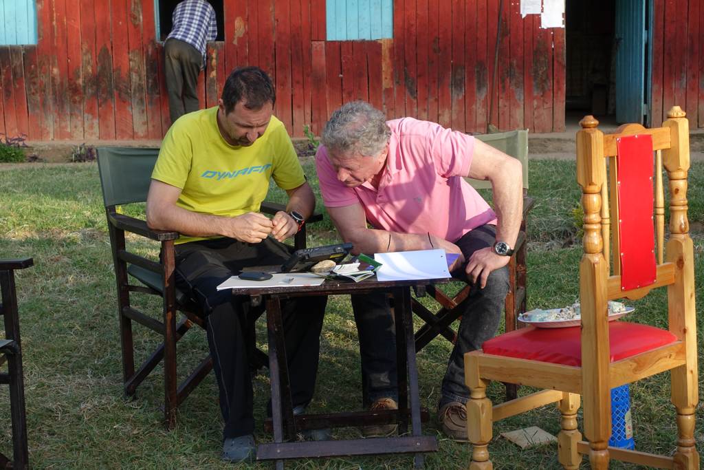
| 6.-10.2. | workshop geoinformatics with KWS, Nyeri | ||||||||||||||||||||
| |||||||||||||||||||||
| January | AV.MAP - Members magazine of the Austrian Alpine Club No. 1/17 (German language): 150 Jahre Kartografie... | ||||||||||||||||||||
| 2016 | |||||||||||||||||||||
| 24./25.8. | Pléiades-data FSH: capturing and delivery | ||||||||||||||||||||
| 15.8.-30.9. | capture window FSH re-opened | ||||||||||||||||||||
| 15.7.-14.8. | second field trip Mt. Kenya Nationalpark (survey map content) | ||||||||||||||||||||
| |||||||||||||||||||||
| 22.6. | common final test for field work, Innsbruck | ||||||||||||||||||||
| 11.6. | Outdoor First Aid Course, Innsbruck | ||||||||||||||||||||
| 26.-30.4. | 10th Mountain Cartography Workshop, Berchtesgaden/Germany | ||||||||||||||||||||
| 4.3. | ESRI Suisse, Zürich/Switzerland | ||||||||||||||||||||
| 3.3. | Federal Office of Topography swisstopo swisstopo, Wabern/Switzerland | ||||||||||||||||||||
| 2.3. | Pléiades-data Kenya: final delivery | ||||||||||||||||||||
| 29.2. | Pléiades-data Kenya: second part available | ||||||||||||||||||||
| 15.-26.2. | first field trip Kenya (organisation, GNSS-GCP) | ||||||||||||||||||||
| |||||||||||||||||||||
| 5.2. | Pléiades-data Kenya: first part available | ||||||||||||||||||||
| 2015 | |||||||||||||||||||||
| 1.10. | capture window Mt.Kenya opened | ||||||||||||||||||||
| 15.7.-30.9. | capture window FSH opened | ||||||||||||||||||||
| 12./13.8. | common field trip FSH (test R1) | ||||||||||||||||||||
| 15.-17.9. | Intergeo Stuttart | ||||||||||||||||||||
| Sept | established platform (AGS with Postgres) | ||||||||||||||||||||
| 01.07. | Project start | ||||||||||||||||||||
| 11.05. | Kick-off Meeting, Innsbruck (Institute of Geography) | ||||||||||||||||||||
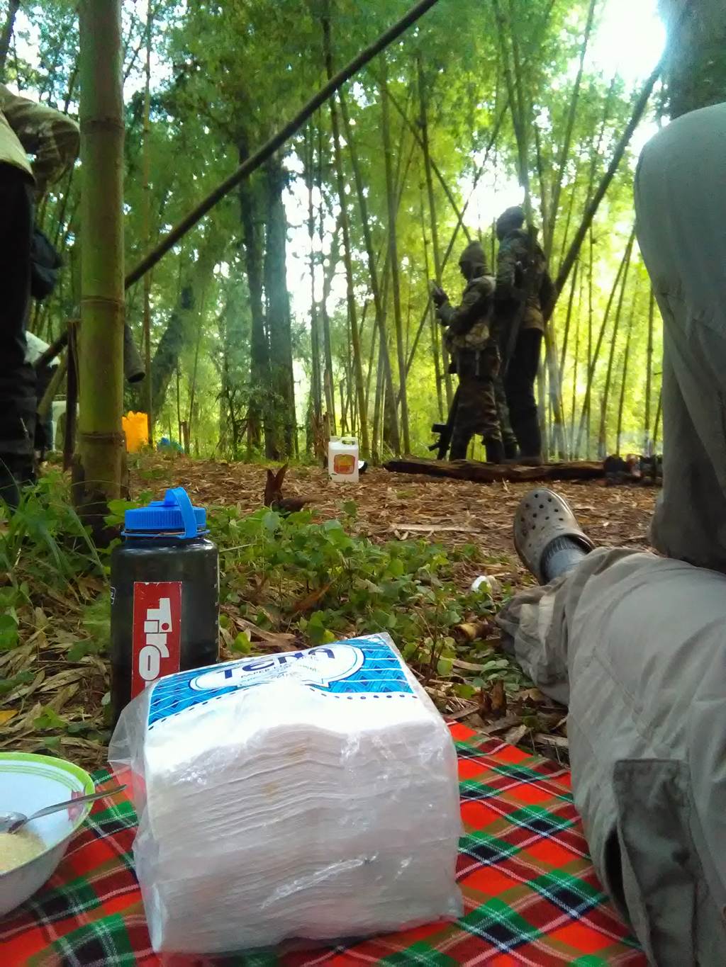
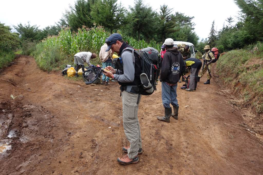
During our filed work at Mt. Kenya we use for communication satellite Phone from: GSM profi.